
I’ve tracked many different storms over the years, but never one that started in the Pacific and then came over into the Gulf of Mexico and re-developed. Will Agatha be my first? I guess I’ll have to just track and find out.
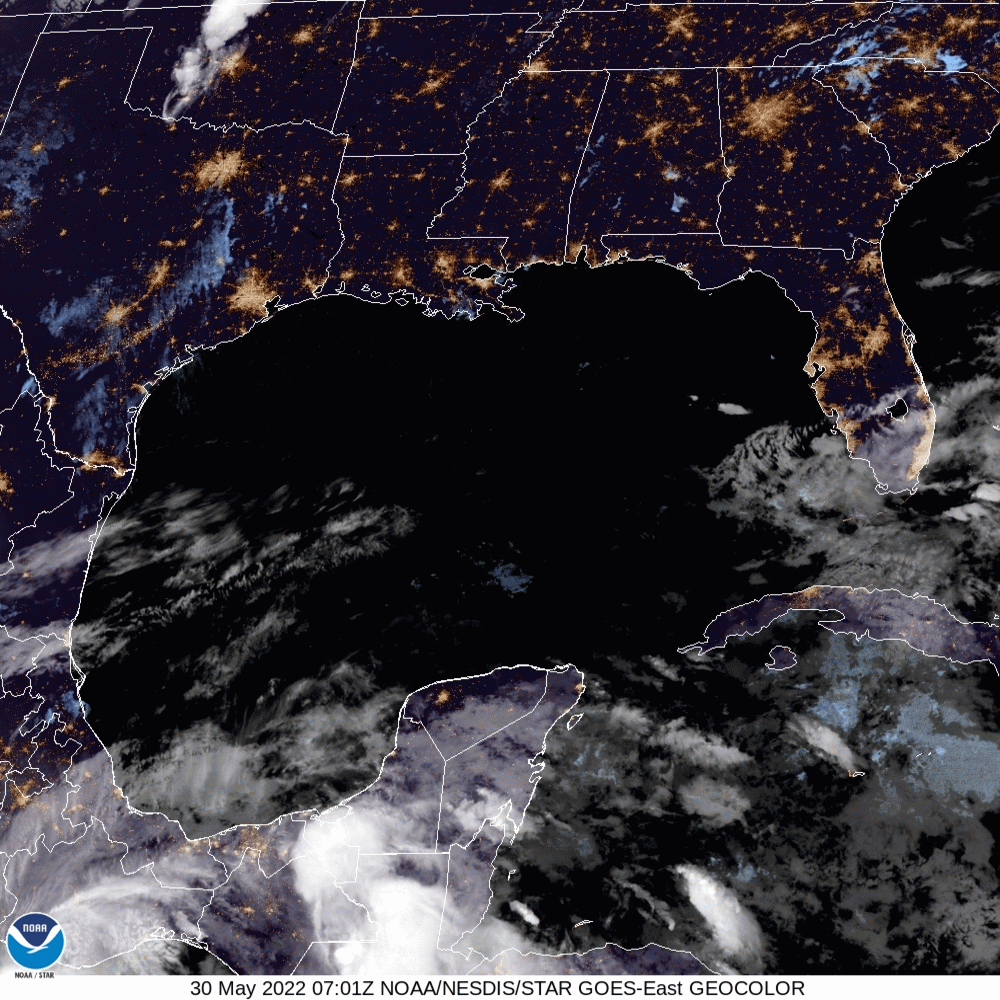
Nothing to worry about at the moment for the Gulf. However, we are watching the development of Agatha. Currently, there is only a 40% chance of development for the Gulf and IF that happens, it could threaten the NW Gulf Coast by the end of this week (Friday, June 3rd, 2022)
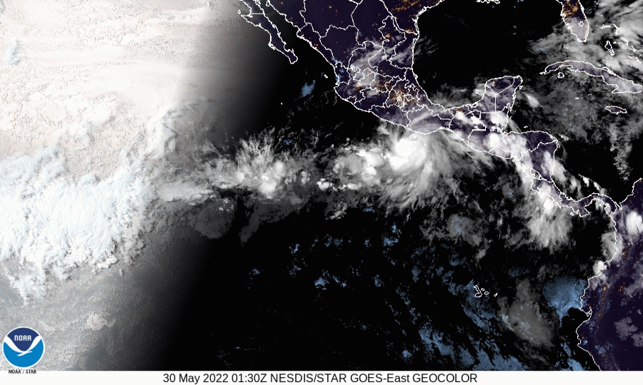
ZCZC MIATWOAT ALL
TTAA00 KNHC DDHHMM

Tropical Weather Outlook
NWS National Hurricane Center Miami FL
800 AM EDT Mon May 30 2022

For the North Atlantic...Caribbean Sea and the Gulf of Mexico:

1. Near the Yucatan Peninsula:
A large and complex area of low pressure is expected to develop
across Central America, the Yucatan Peninsula, and the southwest
Gulf of Mexico in a few days, partially related to the remnants of
Hurricane Agatha from the eastern Pacific. Some gradual development
is possible within this system in the far southwest Gulf of Mexico
around mid-week or in the northwest Caribbean by the latter part of
this week as it drifts eastward or northeastward.  Regardless of
development, locally heavy rains will be possible across southern
Mexico, the Yucatan Peninsula, Guatemala, and Belize through the
week.
* Formation chance through 48 hours...low...near 0 percent.
* Formation chance through 5 days...medium...40 percent.

Forecaster Brown
Leave a Reply