Short Range Forecast Discussion
NWS Weather Prediction Center College Park MD
303 AM EST Thu Jan 05 2023
Valid 12Z Thu Jan 05 2023 - 12Z Sat Jan 07 2023
...There is a Slight Risk of excessive rainfall over parts of California
on Thursday and Friday...
...Heavy snow for the Sierra Nevada Mountains and snow over parts of the
Cascades, Great Basin, and Central Rockies...
...There is a Moderate Risk of excessive rainfall over parts of the
California Coast on Wednesday and a Slight Risk of excessive rainfall over
parts of California on Thursday...
...Temperatures will be 15 to 20 degrees above average over parts of the
Northeast/Mid-Atlantic...
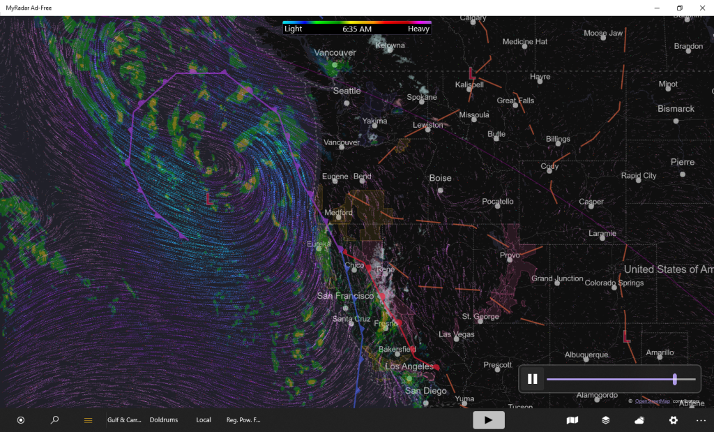
A front will move onshore over the West Coast, bringing a plume of
moisture over Southern California on Thursday. Furthermore, a second plume
of moisture will move onshore over the Northwest and Northern California
on Friday.
A powerful atmospheric river continues to stream moisture over California
on Thursday. In addition, extremely heavy snow rates above 3 inches per
hour are nearly certain above 5000 feet, which will lead to dangerous, and
at times impossible, travel in the mountains of Northern/Central
California. Furthermore, considerable flooding impacts are likely, on
Thursday. Rain rates over 1 inch per hour may lead to rapid water rises
and mud/rock slides. Coastal areas of California and the Sacramento Valley
are most at risk. Therefore, the WPC has issued a Slight Risk of excessive
rainfall over California from Thursday into Friday morning. The associated
heavy rain will create mainly localized areas of flash flooding, with
urban areas, roads, small streams, and burn scars the most vulnerable.
Additionally, widespread wind gusts in excess of 50 MPH and saturated
soils may make trees more susceptible to blowing down, with power outages
also possible.
On Friday, the stream of moisture will flow into Northern California,
producing heavy rain. Therefore, the WPC has issued a Slight Risk of
excessive rainfall over southwestern Oregon and Northern California Friday
into Saturday morning. The associated heavy rain will create mainly
localized areas of flash flooding, with urban areas, roads, small streams,
and burn scars the most vulnerable.
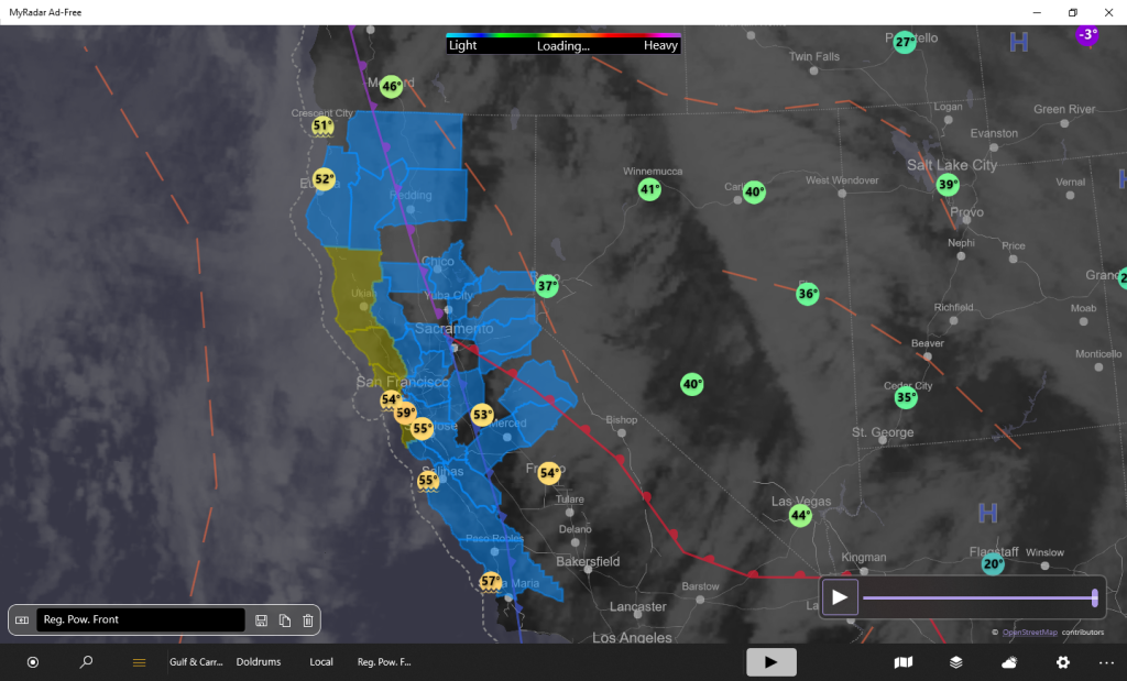
Moreover, snow will develop over parts of the Cascades, Great Basin, and
Central Rockies from Thursday into Friday. Furthermore, coastal rain and
higher-elevation snow will continue over the Pacific Northwest/Northern
California into Saturday morning.
Meanwhile, low pressure over the Great Lakes will linger over the region
through Friday morning, producing snow over the area, with the heaviest
snow over parts of the Upper Peninsula of Michigan and the northern Lower
Peninsula. The snow will start to taper off on Friday. Snow will also
develop over parts of the Central Appalachians and continue into Friday.
Furthermore, snow will move into parts of the Northeast also on Friday. In
addition, rain will develop over parts of the Northeast and pockets of
rain/Freezing rain will develop over parts of Northern New England, with
the freezing rain ending on Friday. The snow will result in reduced
visibility and hazardous driving conditions. Additionally, temperatures
will be 15 to 20 degrees above average ahead of the front over parts of
the Northeast/Mid-Atlantic.
Elsewhere, a front will move out of the Southern Rockies on Friday and
move into the Southern Plains/Lower Mississippi Valley by Saturday
morning. The system will produce rain over parts of the Middle/Lower
Mississippi and Tennessee Valleys.
Ziegenfelder
Graphics available at
https://www.wpc.ncep.noaa.gov/basicwx/basicwx_ndfd.php


Leave a Reply