
Basically, it’s too early to tell. The consensus is to check back on Wednesday. There is an area of weak high pressure in the central portion of the Gulf preventing rapid development. However, living in SELA, we don’t need rapid development to find ourselves in trouble. My recommendation is not to freak out, but just stay aware of the tropics. If by Wednesday you hear no more of this, then good. If we have development. Then we know what we have to do.
Below is the NHC Discussion and satellite images of the area of concern.
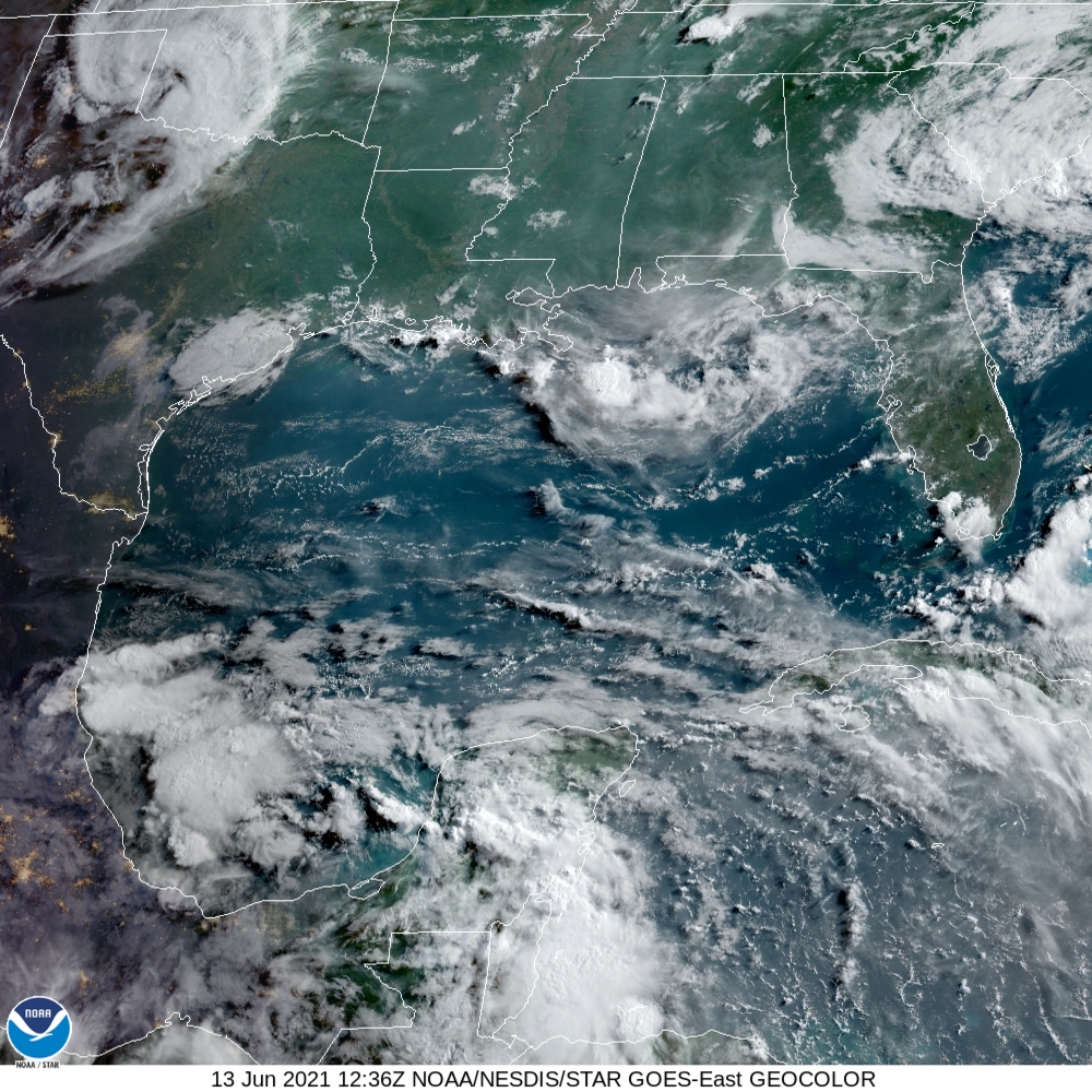
A broad 1008 mb surface low is centered over the Bay of Campeche
near 20N95W. A surface trough extends from 20N97W to the low to
18N92W. Scattered moderate and isolated strong convection is noted
from 18N to 23N between 94W and 98W. A 1015 mb high center is
analyzed near 26N90W with a ridge axis extending to the central
Texas coast and through the Straits of Florida. A complex of
scattered thunderstorms has moved from the lower Mississippi
Valley into the N central Gulf north of 27N between 85W and 90W.
Moderate anticyclonic winds are noted south of 23N and north of
27N, with light to gentle anticyclonic winds elsewhere. Seas are
3 ft or less across the basin, except higher in and near any
convection.
For the forecast, weak high pressure ridging will remain over the
central Gulf of Mexico through the early part of the week
supporting mainly gentle to moderate anticyclonic winds across the
basin. A trough of low pressure that has formed over the Bay of
Campeche. Slow development is possible over the next several days
while the broad disturbance moves little, and a tropical
depression could form in this area by Thu or Fri. Regardless of
development, heavy rainfall will be possible over portions of
southern Mexico during the next several days. Please consult
products from your local meteorological service for more
information.
Leave a Reply