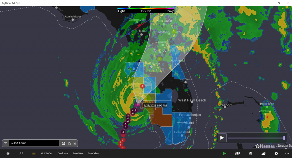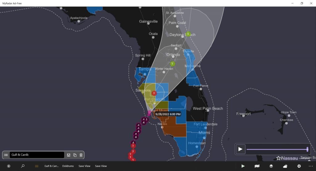
1. Catastrophic storm surge inundation of 12 to 18 feet above ground
level along with destructive waves are expected somewhere along the
southwest Florida coastline from Englewood to Bonita Beach,
including Charlotte Harbor. Residents in these areas should urgently
follow any evacuation orders in effect.

2. Catastrophic wind damage is beginning along the southwestern
coast of Florida today near the landfall location.  Hurricane-force
winds are expected to extend well inland along near the core of Ian.
Preparations to protect life and property should be urgently rushed
to completion.

3. Heavy rainfall will spread across the Florida peninsula through
Thursday and reach portions of the Southeast U.S. later this week
and this weekend.  Widespread, life-threatening catastrophic
flooding is expected across portions of central Florida with
considerable flooding in southern Florida, northern Florida,
southeastern Georgia and coastal South Carolina. Widespread,
prolonged major and record river flooding is expected across
central Florida.

4. Hurricane conditions are expected along the east-central Florida
coast overnight, where a Hurricane Warning has been issued.
Hurricane conditions are possible from northeastern Florida to
portions of South Carolina on Thursday and Friday, and a Hurricane
Watch has been issued for that area.

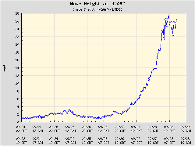
Waveheight divided by 2 will give the expectation of feet above ground of the storm surge. However, Port Charlotte and Punta Gorda sit at the north end of a channel (Charlotte Harbor) which could experience an amplification of the size of the storm surge. Please, if you are along the SW coast of Florida, move as far inland as you can.

FPL (Florida Power and Light) is reporting 400,000 outages. – Fox4, Southwest Florida at 2:08 pm.

Leave a Reply